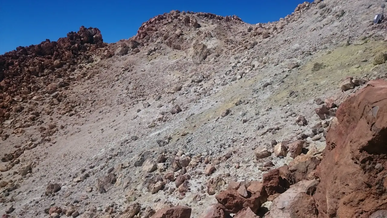
Mount Teide dominates Tenerife island, being visible from pretty much every part in all regions. With such an omnipresent mountain constantly visible, it was just a question of time until we’d take the decision to go hiking Tenerife’s Mount Teide.
While the most popular route up the mountain is via cable car, the challenge of hiking reigned supreme. Scroll past the booking links for a rough guide to making your way up or alternatively, check out other summer guides and winter guides on the iRide website.
You could also check out Tenerife’s best attractions and Tenerife’s best activities.
Tenerife accommodation at the best price
We’ve teamed up with the accommodation specialists, Booking.com, to bring you the best deals on accommodation in Tenerife.
Find flights to Tenerife at the best prices
Find the best prices on flights direct from your nearest airport using the form below. Note, if results aren’t showing your closest airport, just follow the link for more information.
First things first – bear in mind the weather
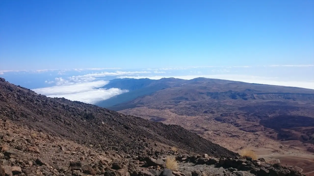
It’s worth remembering that weather conditions in Tenerife vary wildly from season to season and the sheer height of this mountain means it can often be really cold up there. Indeed, it frequently snows in winter. Read more about the temperature effect of altitude.
At 3718m (some say 3715m), Mount Teide is Spain’s highest mountain and also the third highest volcano in the world when taking into account that it rises around 7500m from the sea bed. So even if it’s warm and sunny on the coast, conditions can be very different as you climb higher up the mountain. The best advice is to take clothes for colder weather – especially if you’re going up out of the summer months. At this altitude, you can visibly see the curvature of the earth – somewhat debunking claims of the flat earthers.
Introducing Mount Teide, Spain’s highest mountain
The history of Mount Teide, Tenerife
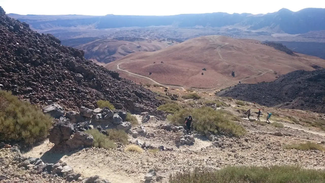
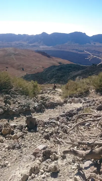
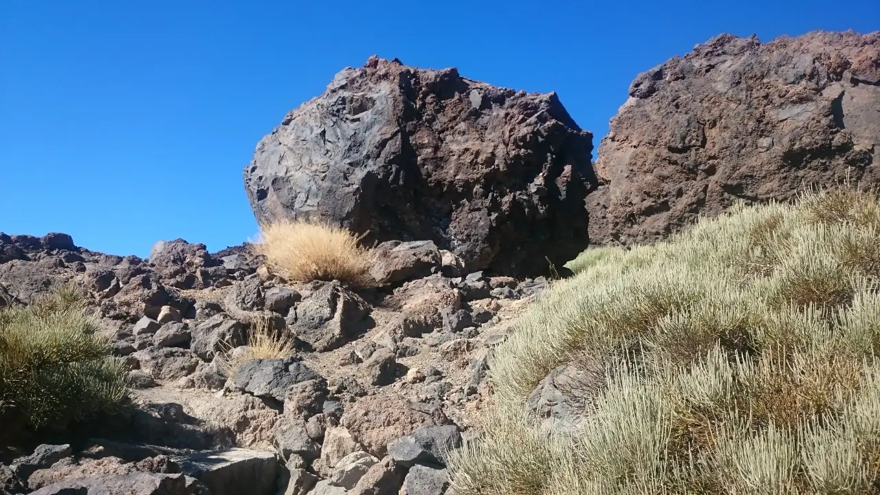
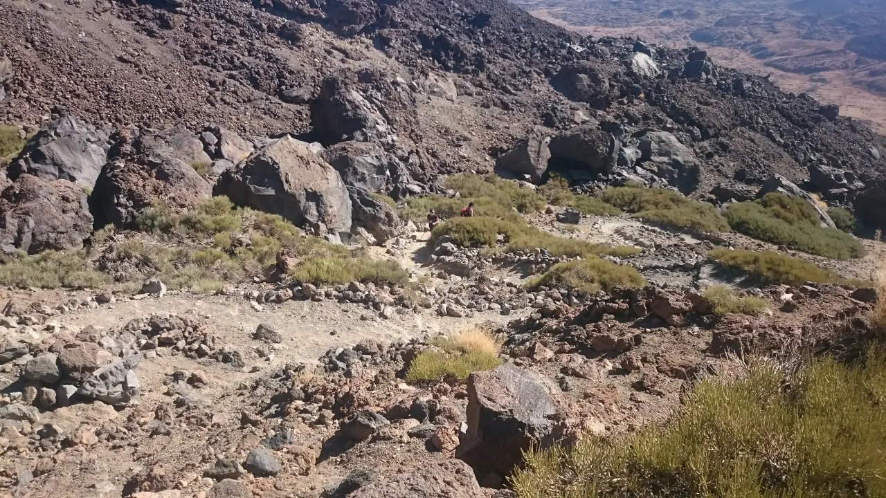
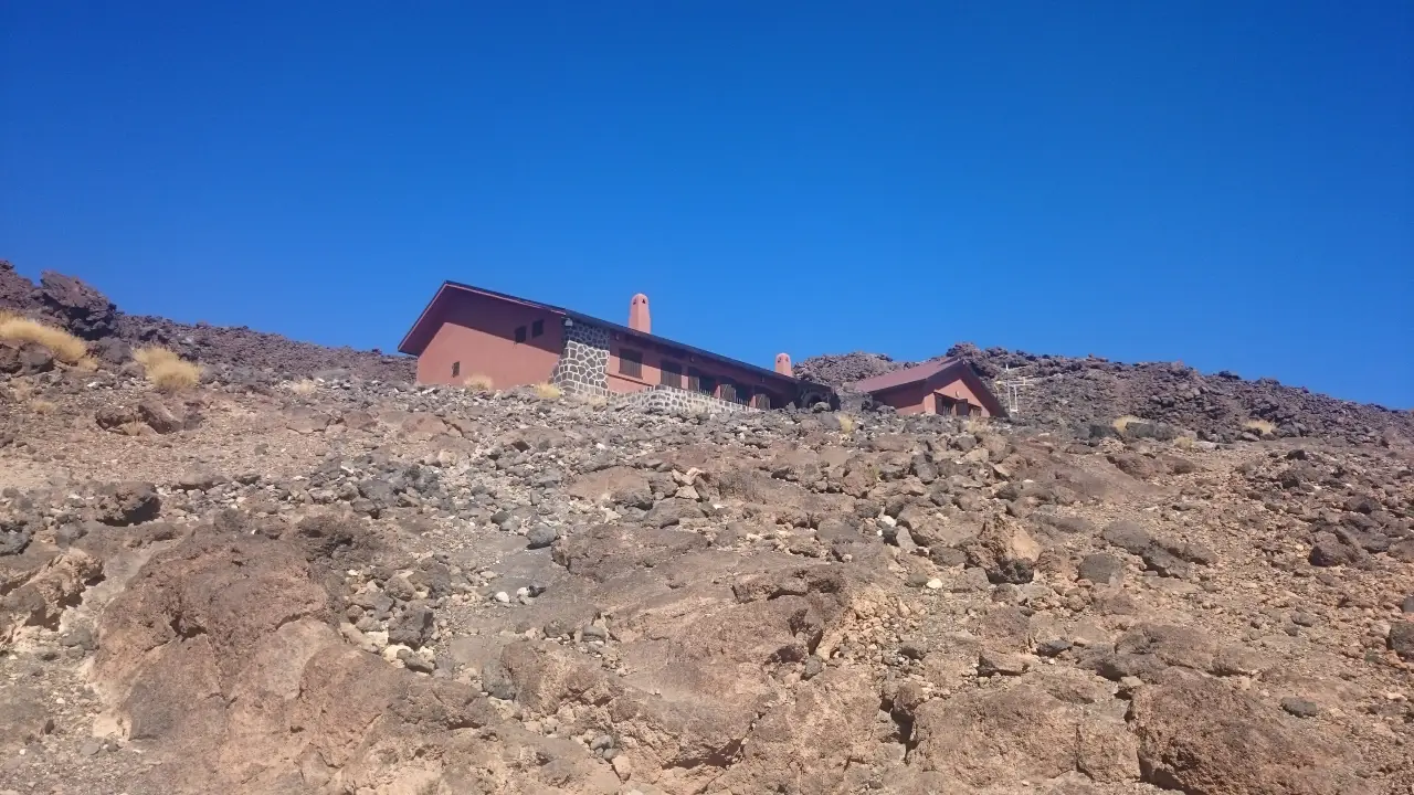
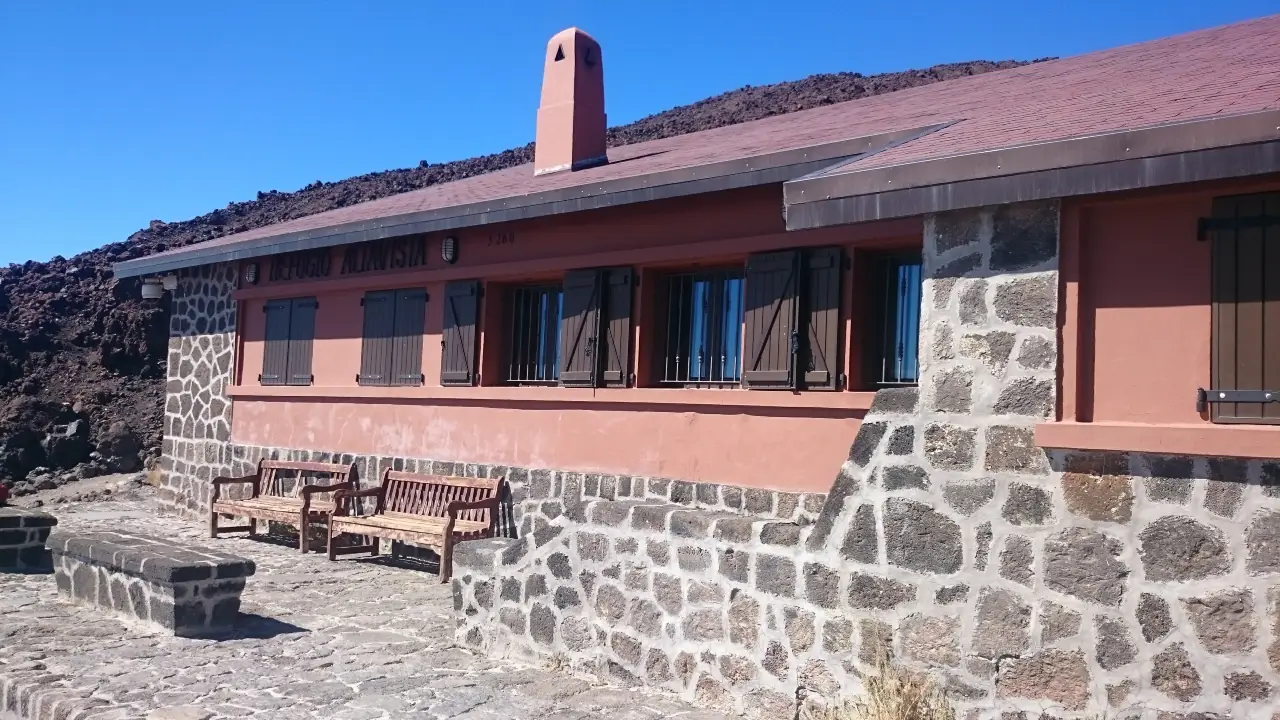
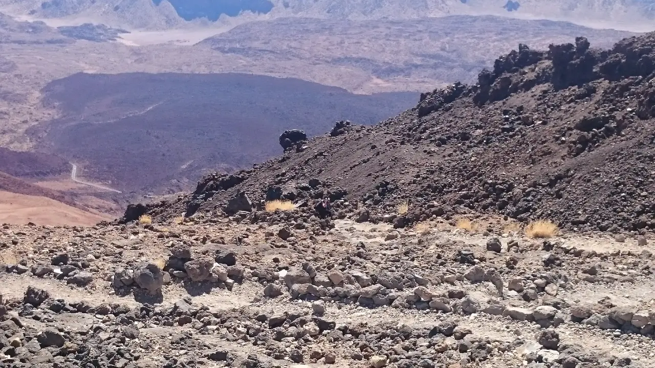
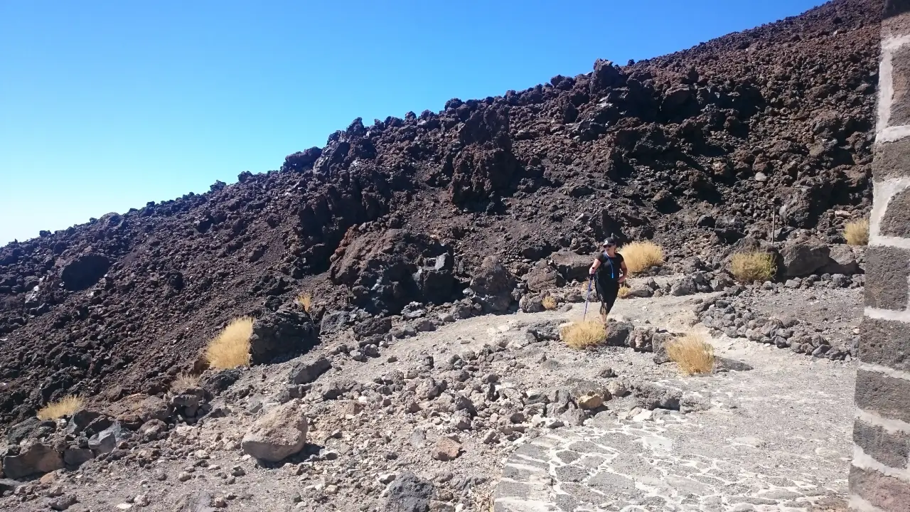
The hike up Teide
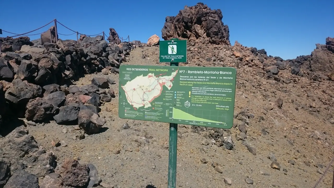
Despite being at altitude, the hike up Teide isn’t particularly challenging and should be within the realm of experienced walkers. Nonetheless, some parts do get quite steep – a fact made significantly more challenging by effects of being so high. If you’re in any doubt, you might prefer to take the cable car up instead.
Reaching the true summit of Teide
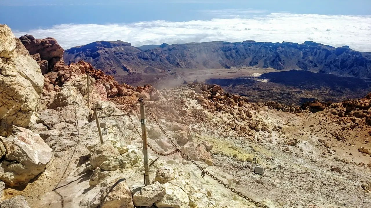
The cable car takes you most of the way up Teide but, if you want to reach the true summit, you’ll need to apply for a special pass in advance (although it is questionable how this can be policed as there’s only one gate where you get checked).
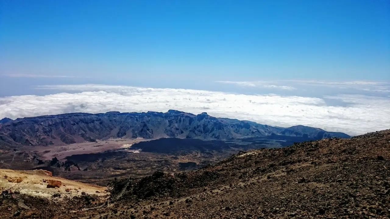
If you’re not so fussed for reaching the true summit, there are multiple walking paths around the top station of the cable car that still give great views. On a clear day, you should be able to make out the outlines of other Canary islands including La Gomera, El Hierro, La Palma and Gran Canaria.
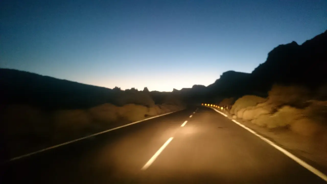
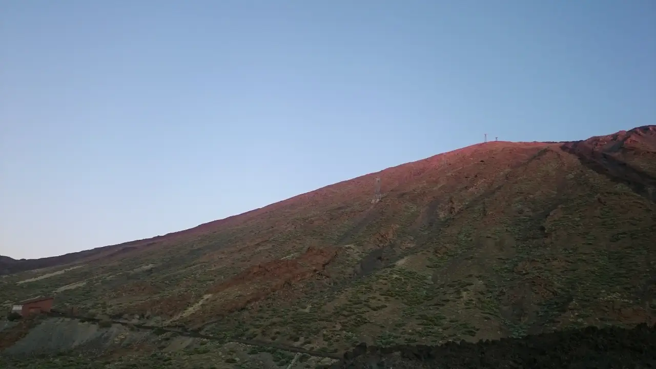
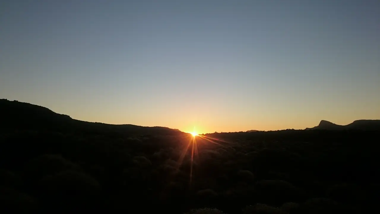
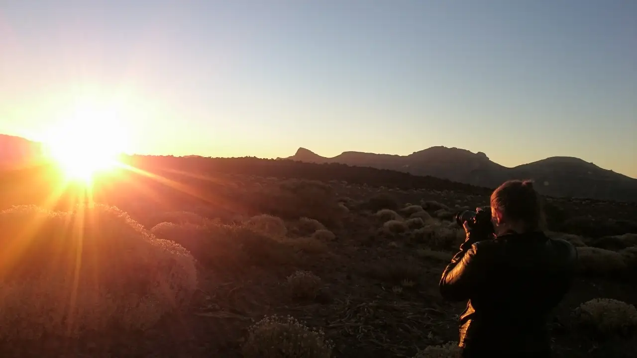
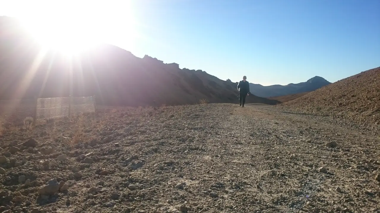
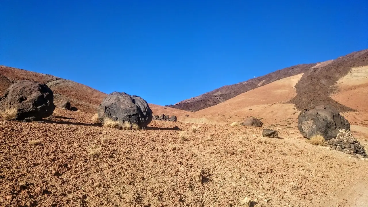
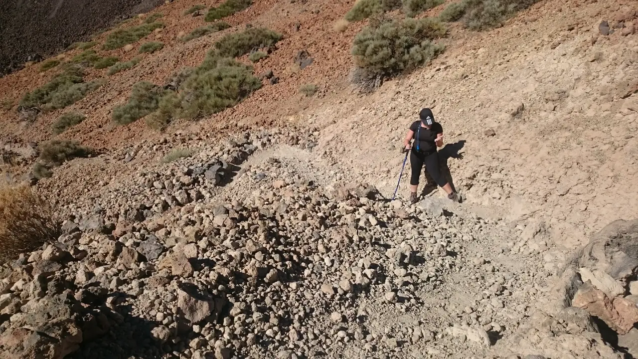
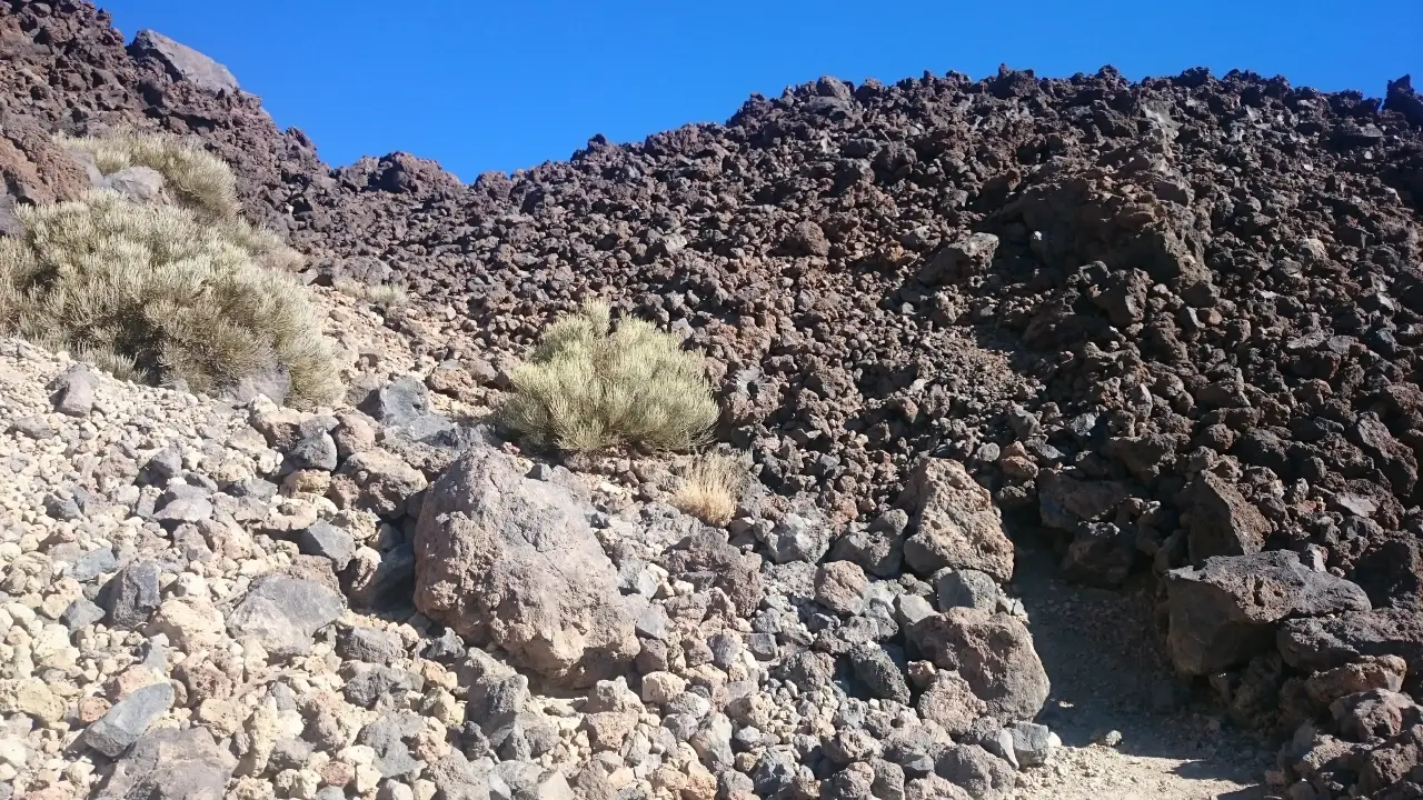
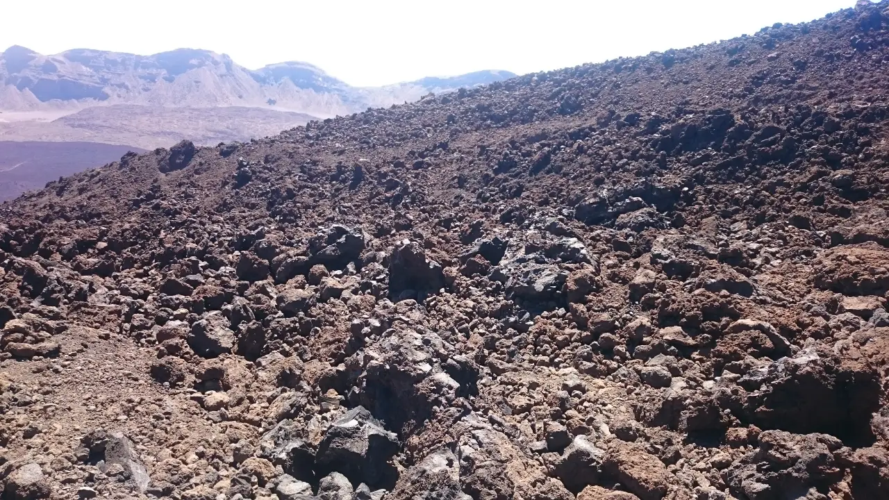
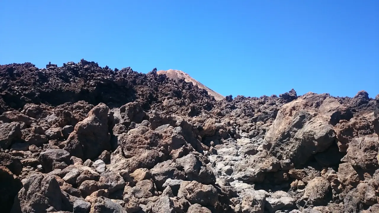
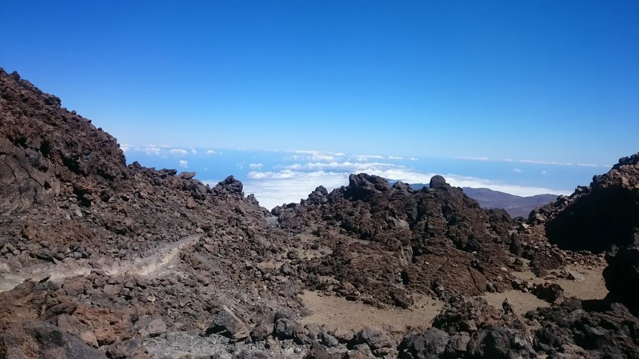
Teide hike images
A Brief History of Teide
Mount Teide formed from volcanic activity over millions of years and has played a significant role in shaping the landscape and ecology of Tenerife.
Teide significant eruptions:
1704: Teide’s last major eruption occurred, lasting three months.
1798: A smaller eruption took place, causing minimal damage.
1909: Another eruption occurred, lasting only ten days.
Teide Statistics
Mount Teide is not only Spain’s highest mountain but also one of the tallest volcanoes in the world. The summit of Teide rises to an impressive 3,718 meters (12,198 feet) above sea level, making it a prominent feature on the Tenerife skyline. Remarkably, when measured from the seabed, Teide’s total height exceeds 7,500 meters (24,600 feet), surpassing even Mount Everest. Despite its subtropical location, snow is a common sight on Teide’s summit during the winter months.
Main Hiking Routes up Mount Teide
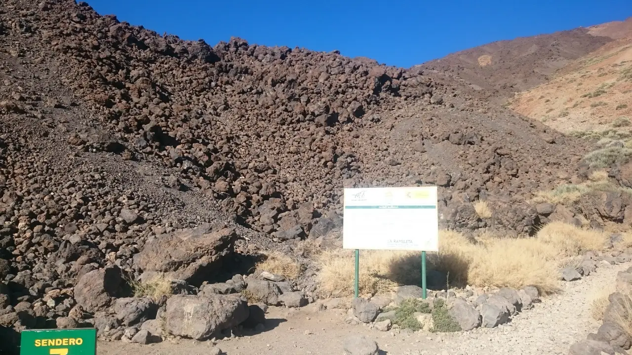
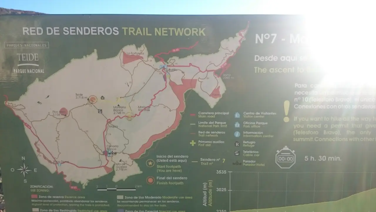
Telesforo Bravo Trail: The main hiking route up Mount Teide is the Telesforo Bravo Trail, which starts near the base station of the Teide Cable Car.
Distance: Approximately 7.5 kilometers (4.7 miles) each way.
Vertical Climb: Around 1,200 meters (3,937 feet).
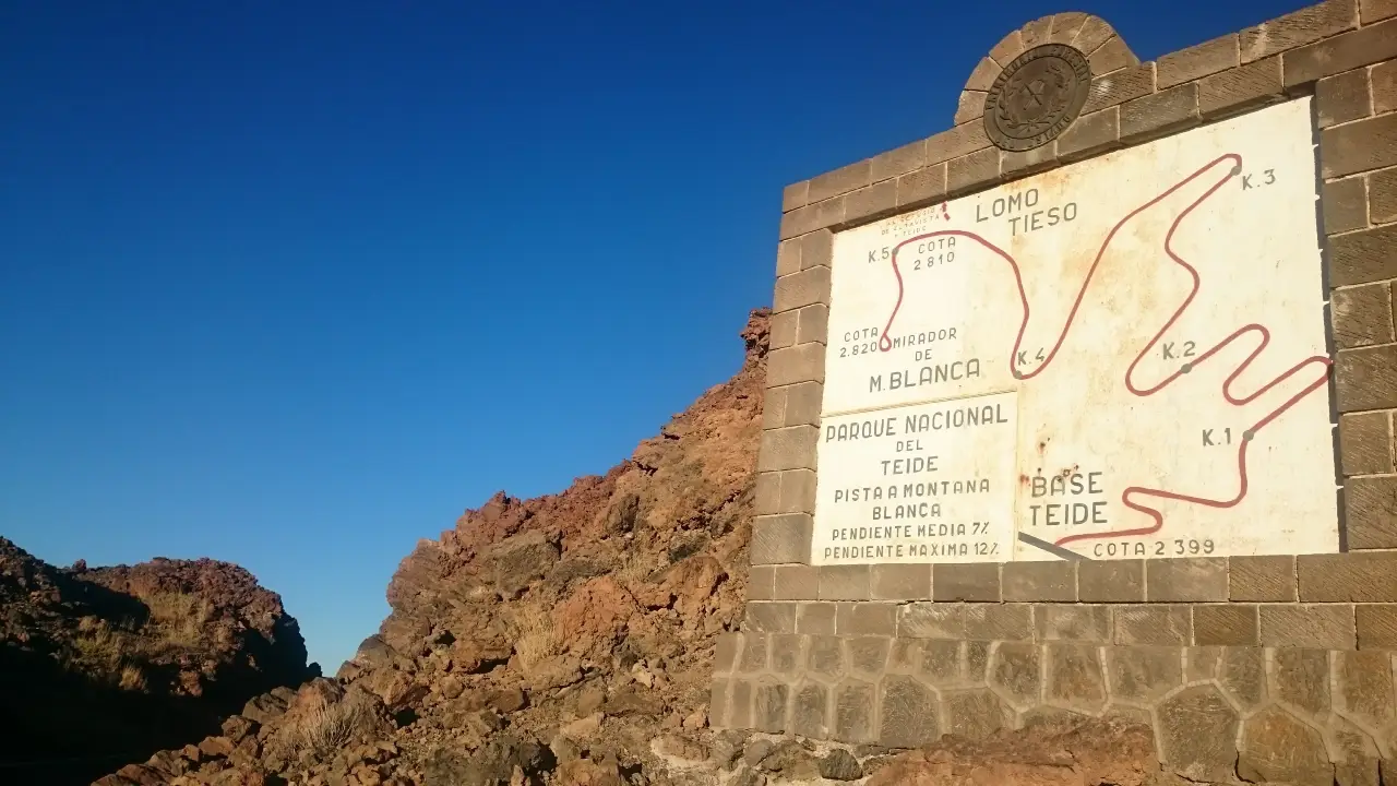
Montaña Blanca Route: For a longer and more challenging trek, consider starting from the Montaña Blanca trailhead, located at a higher altitude.
Distance: Approximately 10 kilometers (6.2 miles) each way.
Vertical Climb: Approximately 1,500 meters (4,921 feet).
Prices for the Teleférico up Mount Teide
If you prefer an easier ascent to Teide summit, you could opt for the Teide Cable Car, also known as the Teleférico, which costs around €27 for adults and €13.50 for children aged 3-13. Discounts are available for residents of the Canary Islands, as well as for seniors and people with disabilities.
Travelling to the Base Station Car Park
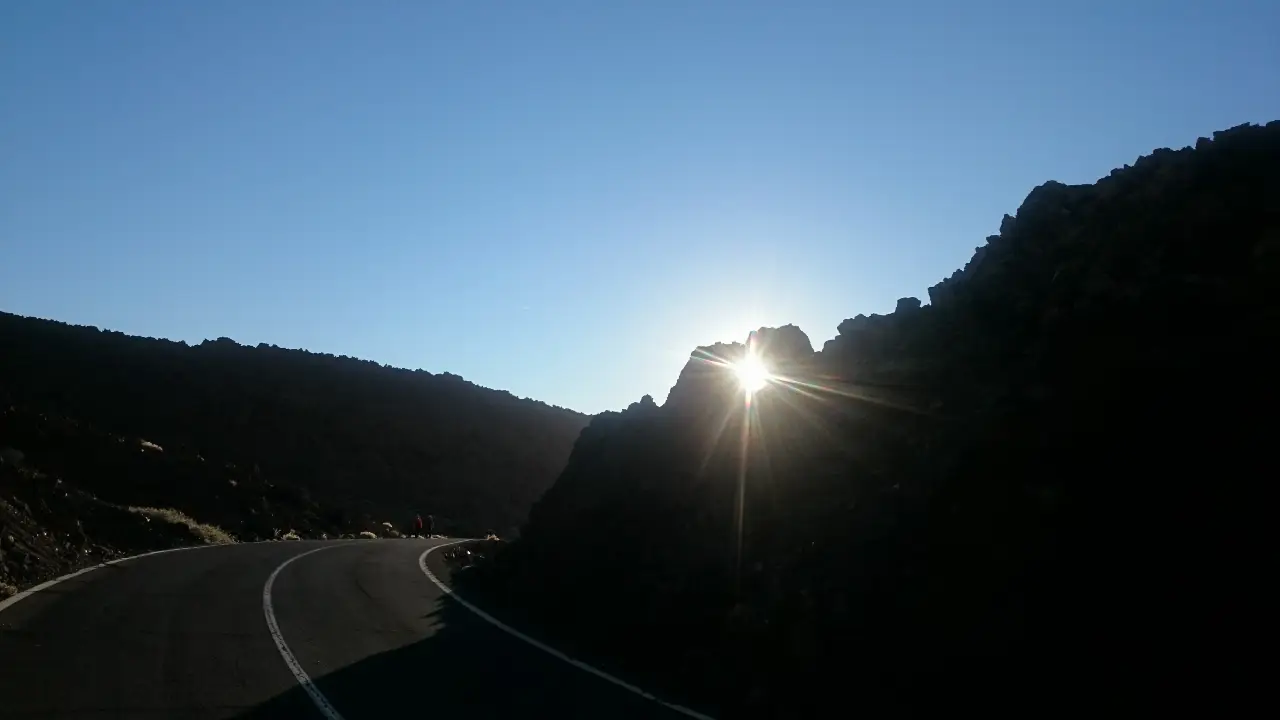
Getting to the base station car park of the Teide Cable Car is straightforward. If you’re driving, simply follow signs for Teide National Park from major roads on the island. The base station is located at an altitude of 2,356 meters (7,729 feet), accessible via TF-21 road. Alternatively, public buses and guided tours are available from various locations on the island, offering convenient transportation to the trailhead.
The iRide website is produced by Tenerife multimedia company, Deepbluemedia. Deepblue offers web and app design and development, video editing, SEO and online marketing to clients around the world.

